About the loop
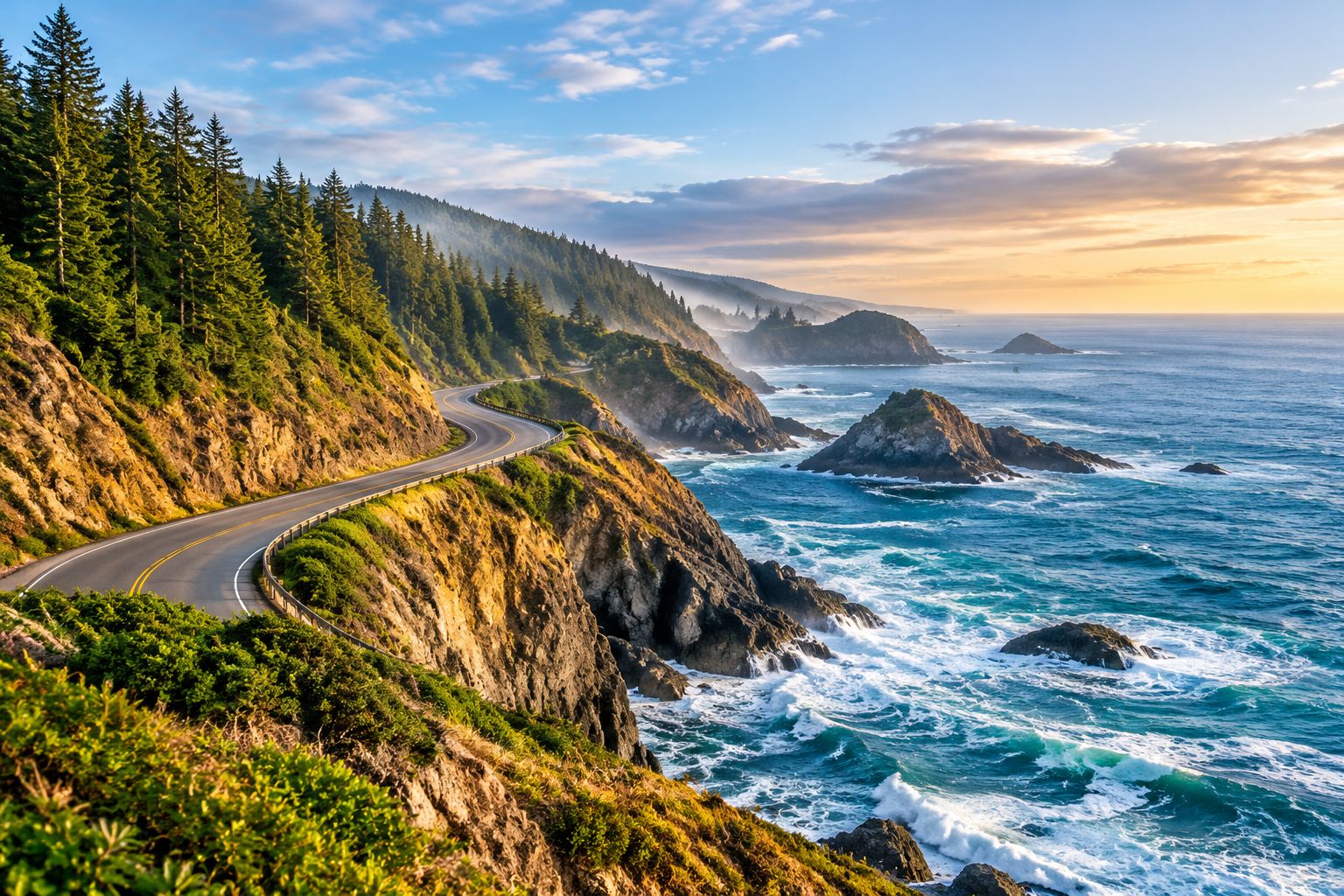
The Cabot Trail is a scenic loop of roughly three hundred kilometres around the northern part of Cape Breton Island, passing through Cape Breton Highlands National Park. The road combines steep climbs, coastal stretches and forested valleys, and many visitors spend two to four days completing the circuit with stops.
The trail is open year-round, but services and some roads are limited outside the summer and early autumn. Check the current road status and winter conditions before a late-season trip.
Driving tips
Many visitors drive the loop counterclockwise, which keeps the ocean on the passenger side and makes it easier to pull over at lookouts. Use the wide shoulders and the designated pullouts, and do not stop on curves. Hills are steep in places, so fuel up and check brakes on longer descents.
Fog can roll in quickly off the Atlantic, especially in the morning, and can reduce visibility sharply on the high ridges. Drive with headlights on, and slow down when the road is damp or misty. Wildlife, including moose, is common on the roadside after dusk.
Lookout points worth the stop
Cape Smokey provides one of the most photographed views on the trail, with a ski-area gondola and a long view over the coast. Ingonish Beach is a useful place to break a long day, with a sandy shoreline and access to the park visitor centre.
The Skyline Trail, a looped hike near the western side of the park, offers wide ocean views and a good chance to see wildlife. Cheticamp is the centre of Acadian culture on the trail, with local crafts and a strong tradition of music and food.
Plan the rest of your trip
Download the printable Road Trip Planner or the four-season packing checklist to keep your itinerary, safety kit and bookings in one place.